History of a road classified as imperial by Napoleon III
The Bonette road links the two valleys of the Ubaye and the Tinée and provides a direct link between Barcelonnette and Nice. It was originally a mule track, a strategic route used and maintained by the army, as can be seen from the buildings along the road (Fourches camp, Restefond fort). Spanish troops used it during the War of the Austrian Succession (1740-1748). The path was widened and turned into a road in 1832. The latter was classified as imperial on 18 August 1860 by Emperor Napoleon III. The final route was completed in 1960. Restoration work has been in progress since 1987.
The roof of the Tour

At an altitude of 2802 metres (2807 m according to the road authorities), Restefond is the highest obstacle in the history of the Tour de France. The Grande Boucle will only pass through it 4 times: in 1962, 1964, 1993 and 2008.
In the 1962 Tour, Federico Bahamontès (Spain), nicknamed "the Eagle of Toledo", crossed the summit in the lead in the Antibes-Briançon stage. The Spaniard repeated his feat in 1964. That year, he finished third in the general classification.
(Philippe Bouvet, journalist, Tour 1993)
La Bonette was then shunned by its organisers until the caravan rediscovered the beauty of the site, almost 30 years later, during a new stage at the Isola 2000 resort. Millar from Scotland became the winner of Restefond in 1993. In 2008, the summit was conquered by John-Lee Augustyn in a stage from Cuneo to Jausiers. But the South-African crashed on the descent with the finish only a few kilometres down. In the end, it was French rider Cyril Dessel who took the stage victory.
A magical setting

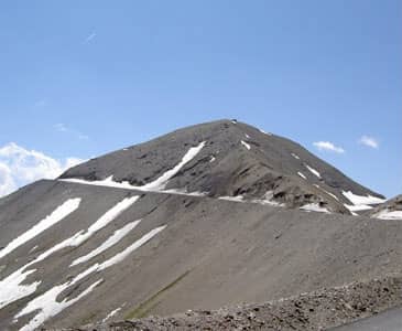
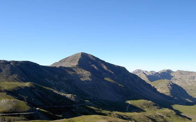
The Bonette-Restefond road takes off at an altitude of over 2800 metres in a fabulous setting. The vegetation gradually gives way to a lunar landscape, almost unreal, made of greyish stones. The change of scenery is total. At the summit, the view is grandiose on a clear day. The summit of the Bonette seems to dominate the neighbouring summits: Pelvoux, Viso, Mont Pelat, Queyras summits, Southern Alps, Italian summits. A visit at sunrise allows you to appreciate even more the beauty of the site, to benefit from an exceptional light and to meet the marmot on the paths or on the road if you are cycling.
The highest road in Europe?
The Col de la Bonette should not be confused with the route of the cime de la Bonette. The Col de la Bonette, also known as the Col de Bonette-Restefond (*), is located at an altitude of 2715 metres behind the Col de l'Iseran (2770 m, the highest pass in Europe), the Stelvio (2757 m) and the Col Agnel (2744 m).
The road to the summit of the Bonette circulates around the summit and dominates at an altitude of 2802 metres. The road is advertised as the highest road in Europe. The record is actually held by Spain with the road to the ski resort of Pradollano in the Sierra Nevada in southern Spain.
(*) This double name comes from the passage of the road through the false pass of Restefond which is nearby.
Events
The pilgrimage to Notre Dame du Très Haut takes place every year at the end of July. A stele was built in 1963 in memory of the prayers answered by the inhabitants of the villages in exodus in the 1940s so that their houses would be spared.
Cycling ascent

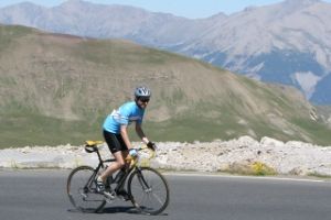
The ascent by bike is full of pleasant surprises. Waterfalls around a bend, sheep on the road, small lakes and streams, green pastures, snow-covered peaks and other pleasures for the eyes follow one another in a relaxing calm that only the whistling of the marmots, the roar of the streams and the wind can change.
The Bonette road represents a significant difficulty that can only be overcome by good training. It is a 24 km climb from Jausiers (23 from the crossroads) with 1589 m of ascent (6.6% average gradient) or 26 km from St Etienne with 1658 m of ascent (6.4% average gradient). The climb from St Etienne de Tinée is probably the most difficult due to its length and the irregularity of its slope. The ascent from Jausiers has some difficult sections but there are many short stretches to catch your breath. The last straight line, 800 metres leading to the highest point of the course, is literally knocking out.
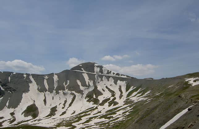
The pass is open from June to October. Beware that the section leading to the summit may remain snow-covered for several weeks after the opening of the pass.
The ascent of the Bonette from St-Etienne de Tinée
The ascent of the Bonette from St Etienne de Tinée is a real treat. It's 26 kilometres of slope at an average of 6.4%, fabulous scenery, a fairly regular slope with a few difficult sections.
The ascent of the Bonette summit from Jausiers
The ascent of the Bonette from Jausiers represents 23 kilometres at 6.It is a very irregular climb with difficult sections alternating with easier sections where you can recover. The progression is made in a mountainous cirque where meadows, larch and pine forests, streams, waterfalls, snow-capped peaks in the distance follow one another. A memorable route.
Profiles, pass condition
Ces articles peuvent aussi vous intéresser
Comment préparer l'ascension à vélo d'un col difficile
Alimentation du sportif : quels glucides consommer quand on fait du sport ?
Les meilleurs compteurs-GPS de vélo et VTT en 2025
Les étirements : faut-il encore les pratiquer ?
Comment préparer une boisson isotonique de l'effort ?
Crédit photos : Adobe Stock. Cet article contient des liens commerciaux.


